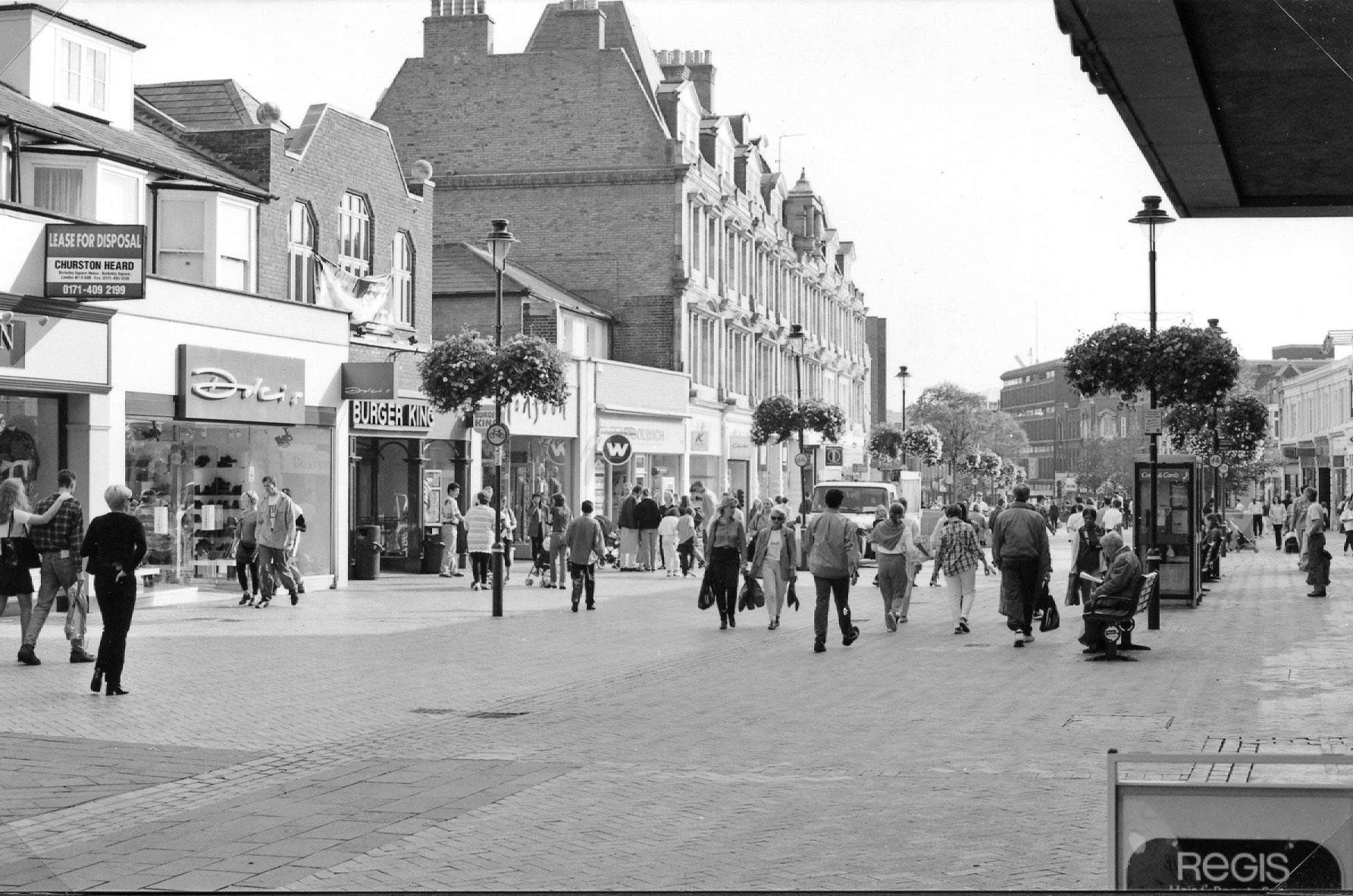
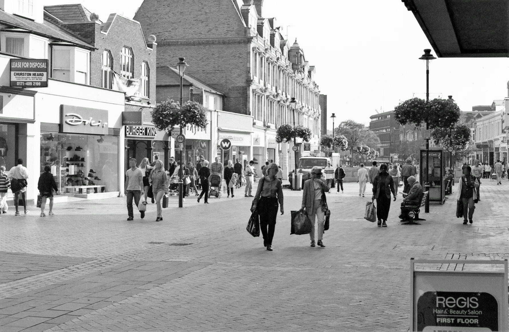
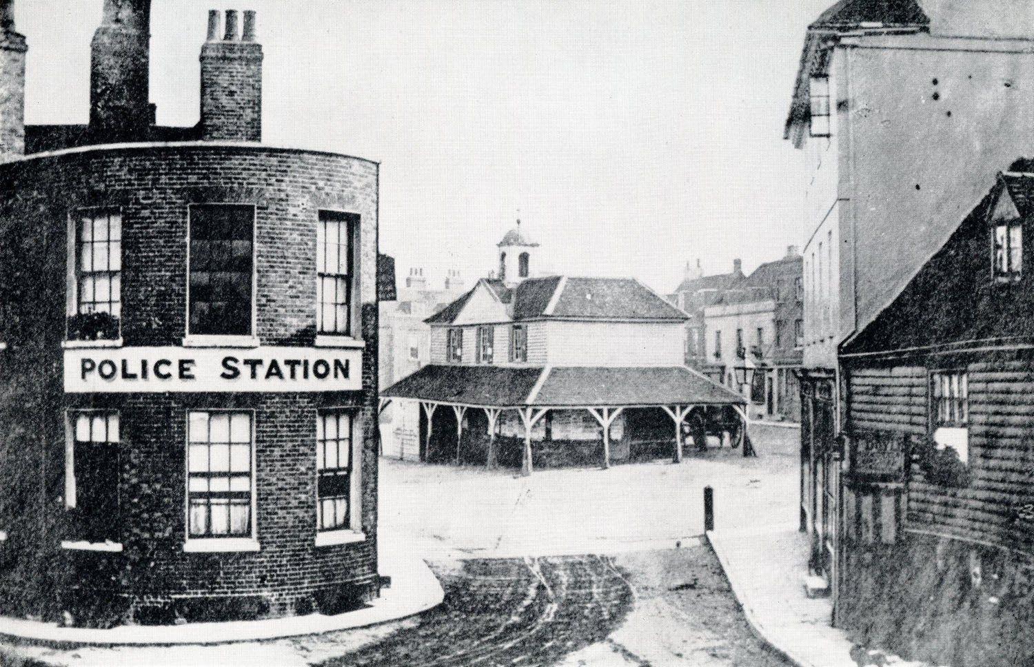
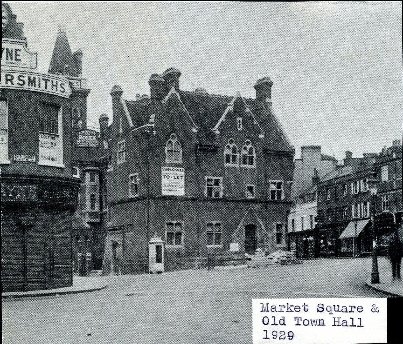
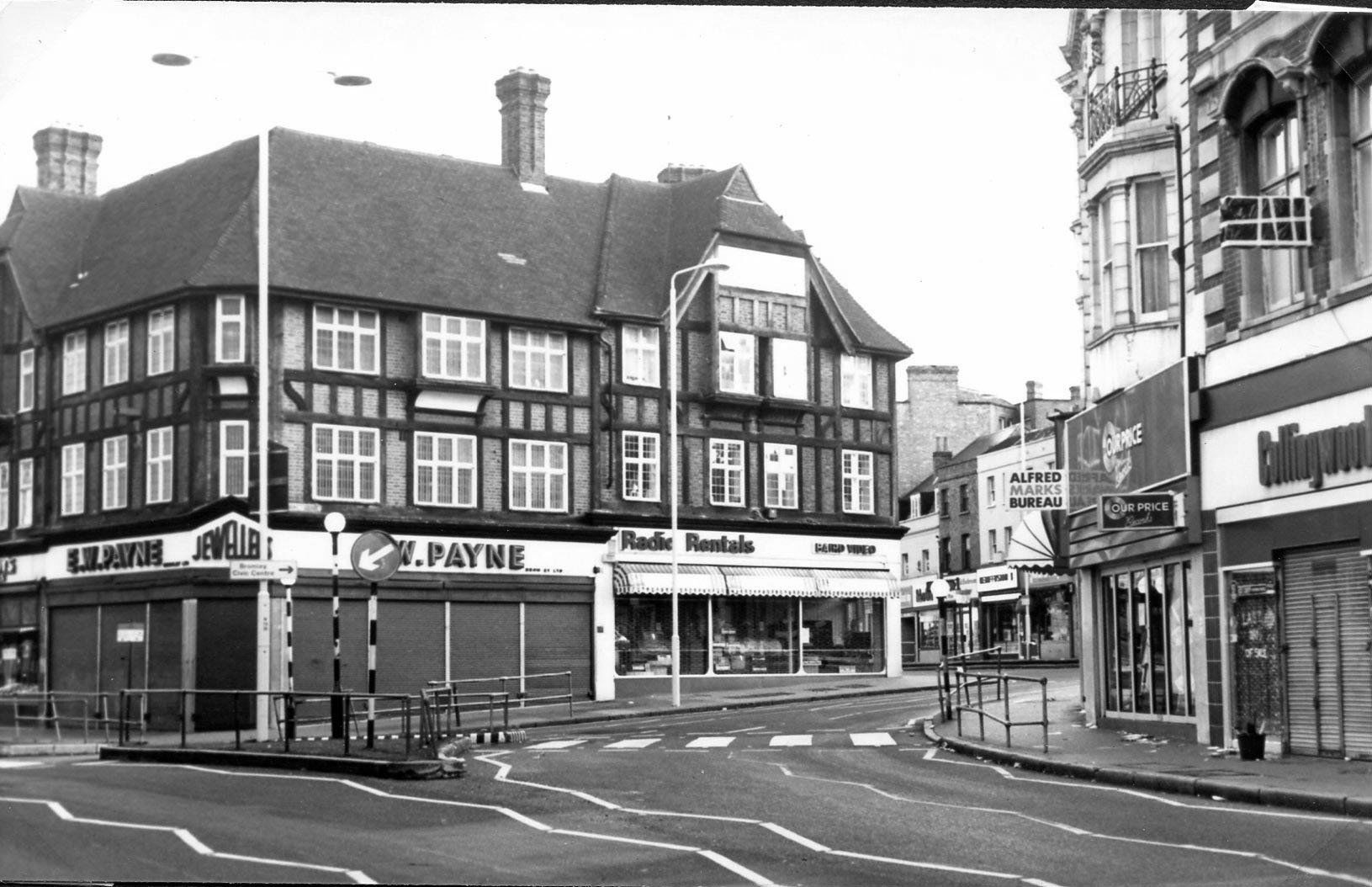
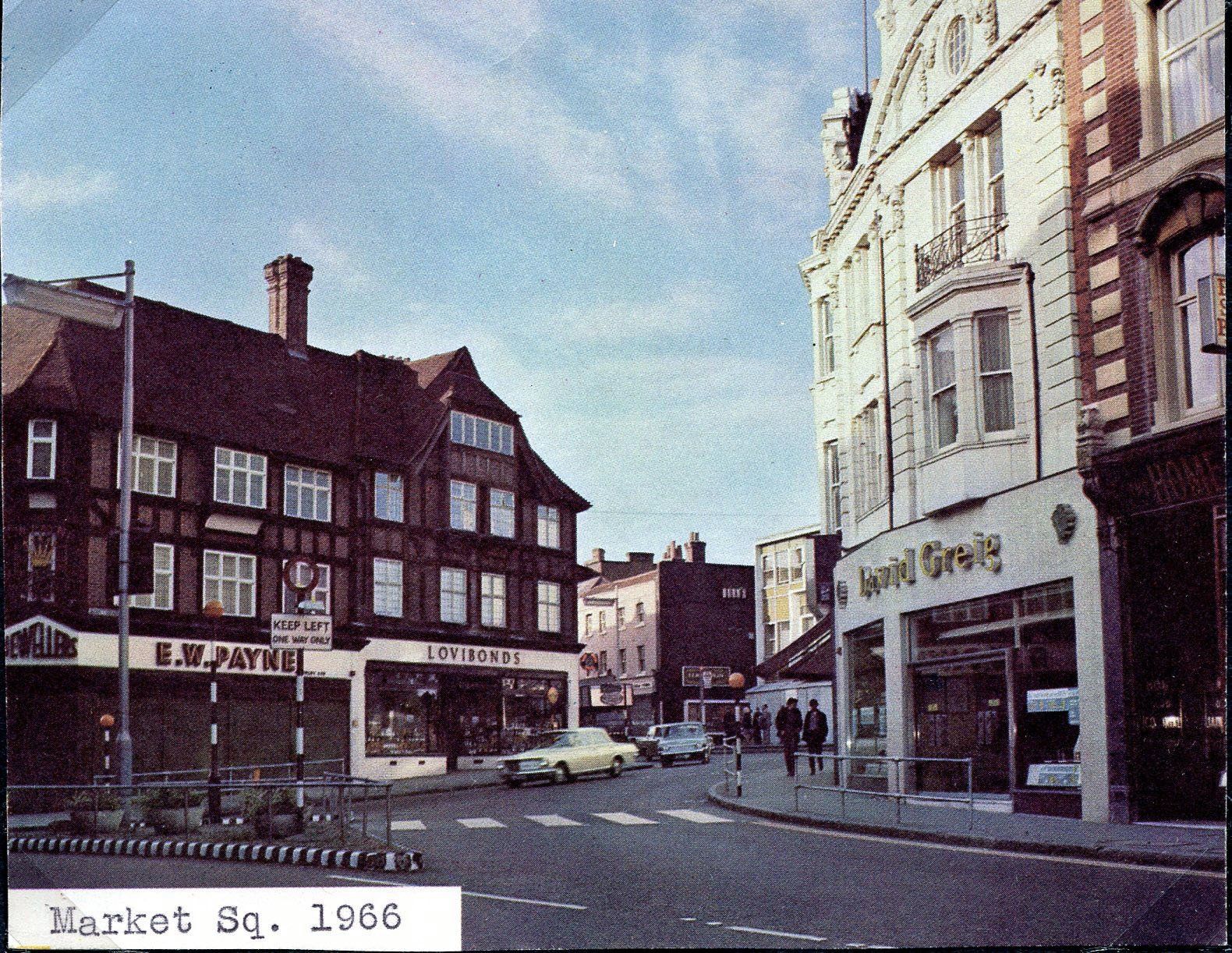
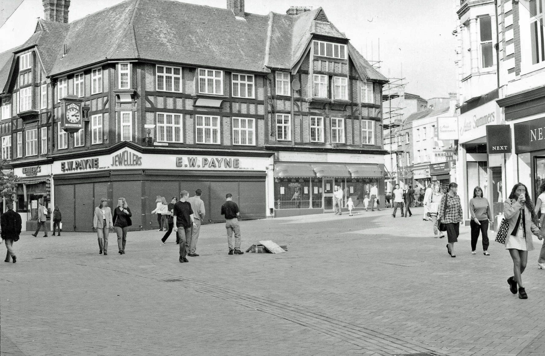
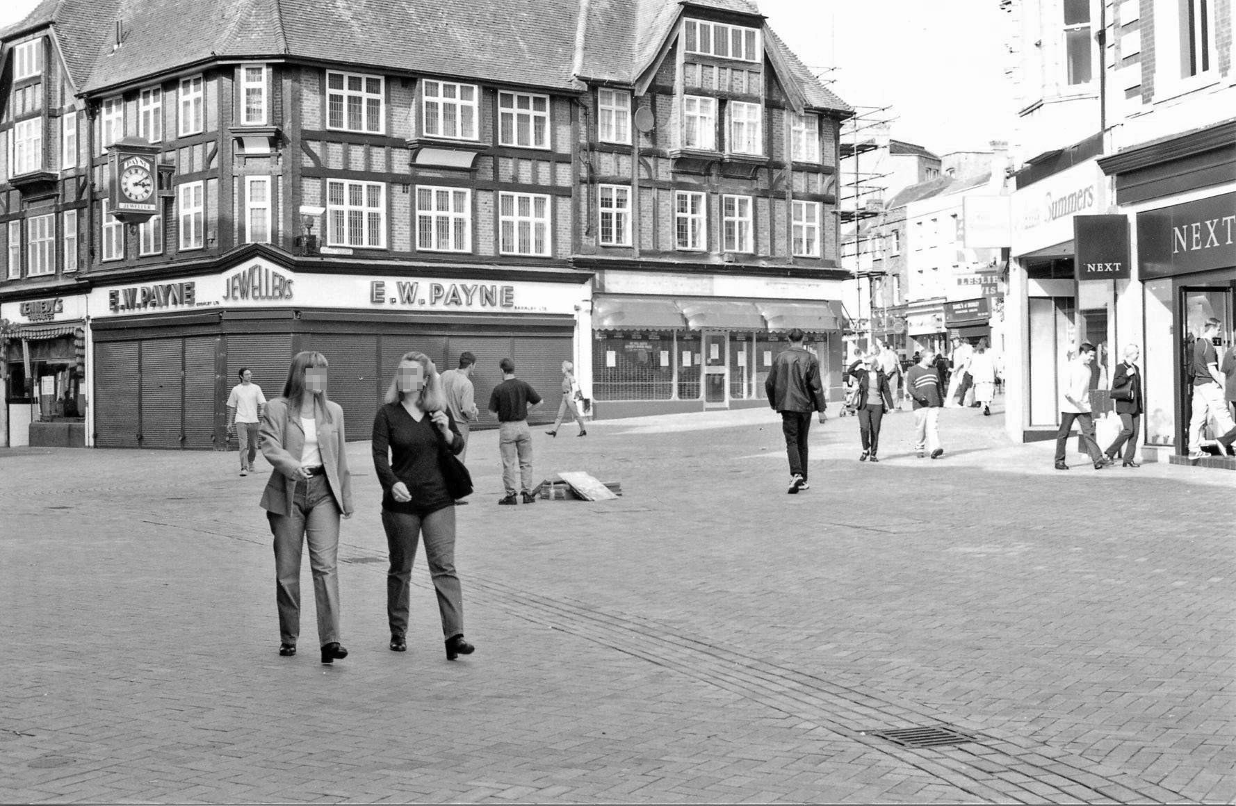
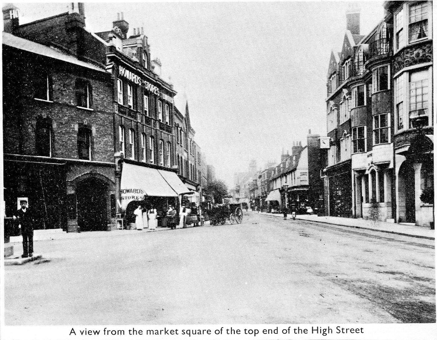
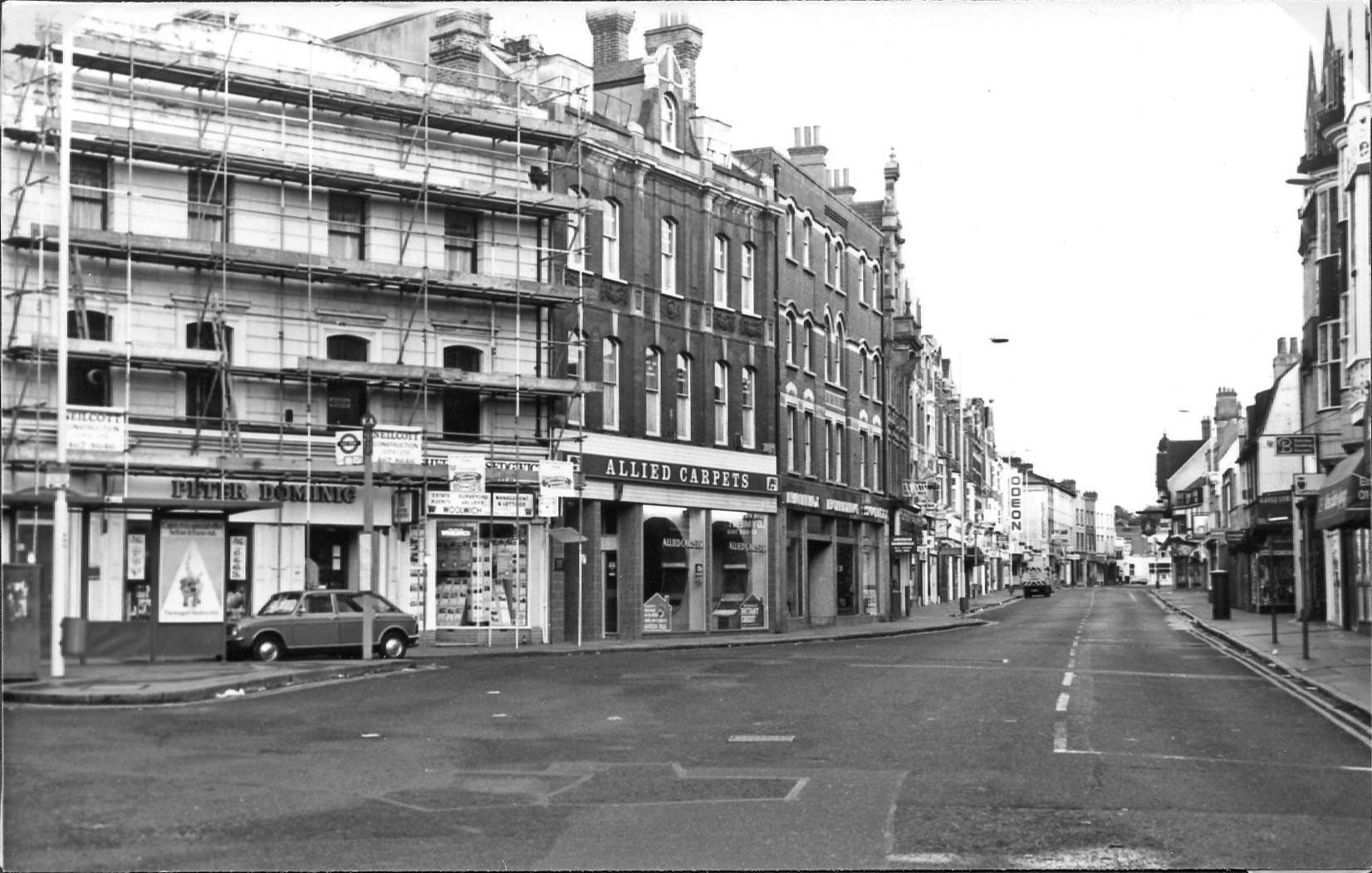
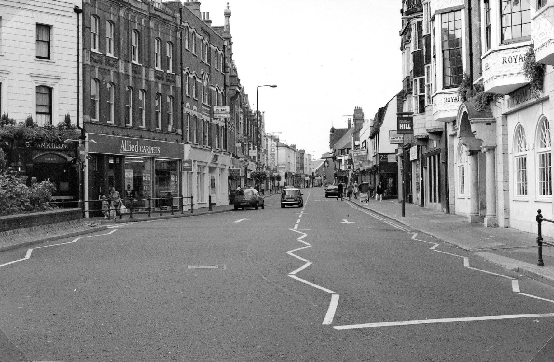
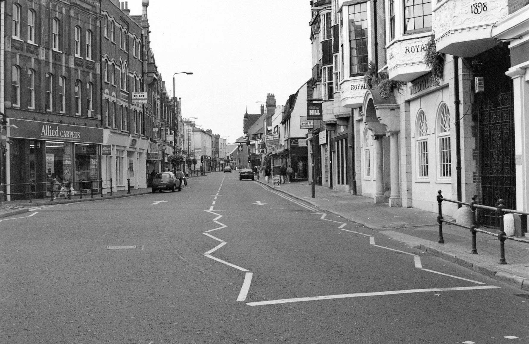
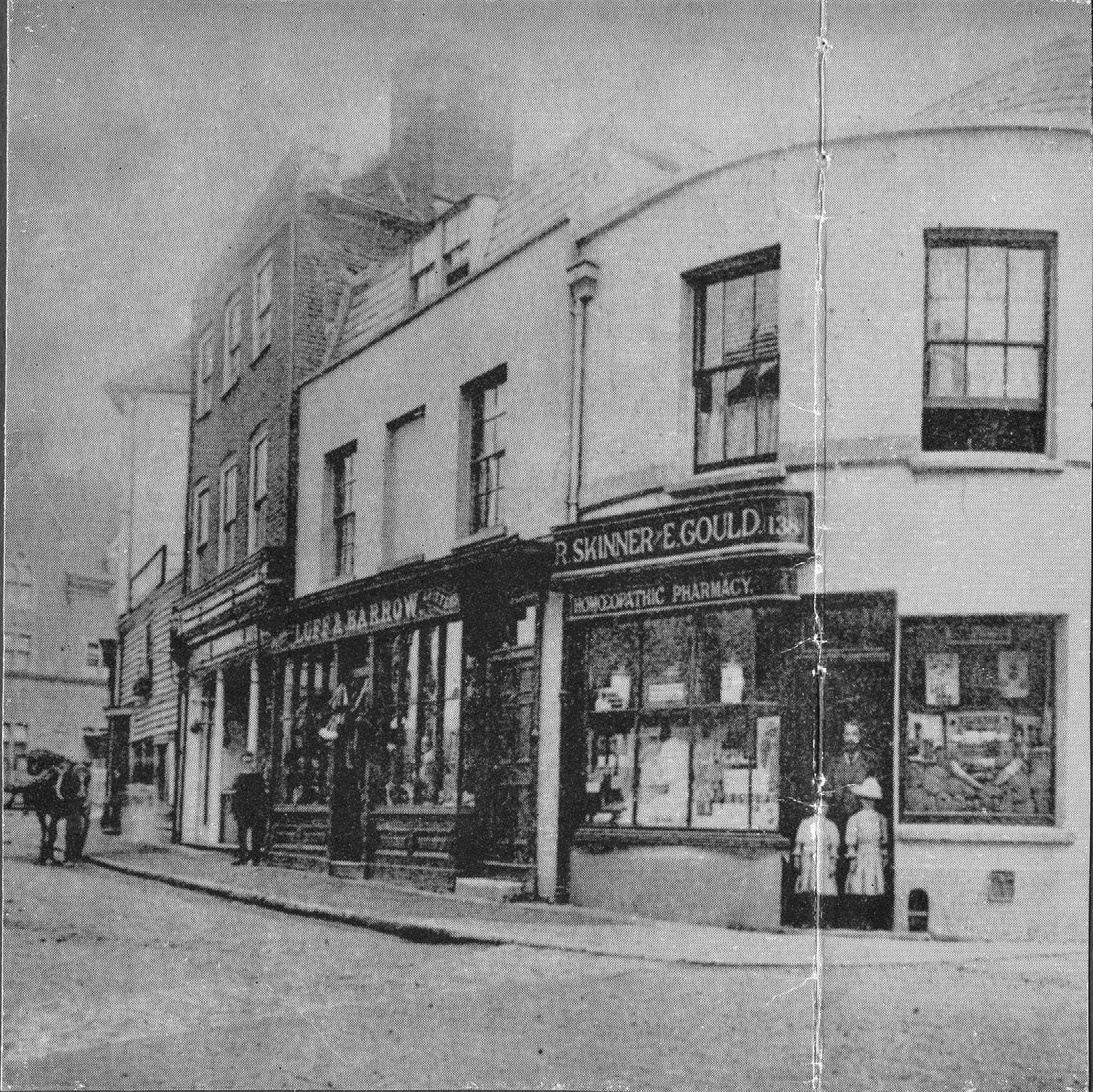
Bromley Borough Local History Society
Registered Charity
No. 273 963
Bromley Borough Local History Society
1857 map of Bromley.
Lower High Street Looking South (undated)
Lower High Street Looking South (undated).
(High Street looking towards the Broadway - cut from a zmagazine, possilby late '60s).
September 1997 (High Street looking towards the Broadway).
(The pedestrianised High Street looking towards the Broadway.)
Market Square (west side) c. 1900
Medhursts - now Allders (now Primark)
Bromley Market Square cica 1860.
Market Square and old Town Hall 1929 (some of the shops on the right still there).
(Market Square, possibly October 1982)
Market Sq. 1966 (apparantly cut from a magazine).
September 1997 (The pedestrianised Market Square.)
(The pedestrianised Market Square September 1997.)
A view from the market square of the top of the High Street (undated and cut from a magazine).
(Upper High Street looking towards London from the Market Square, possibly 1982).
September 1997 (Upper High Street looking towards London from the Market Square.)
(September 1997 Upper High Street looking towards London from the Market Square.)
Shops between Market Square and former White Hart Hotel (undated).
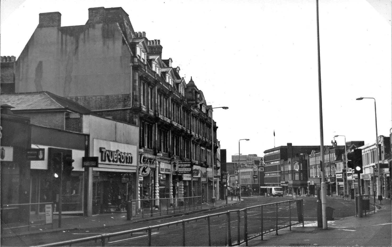
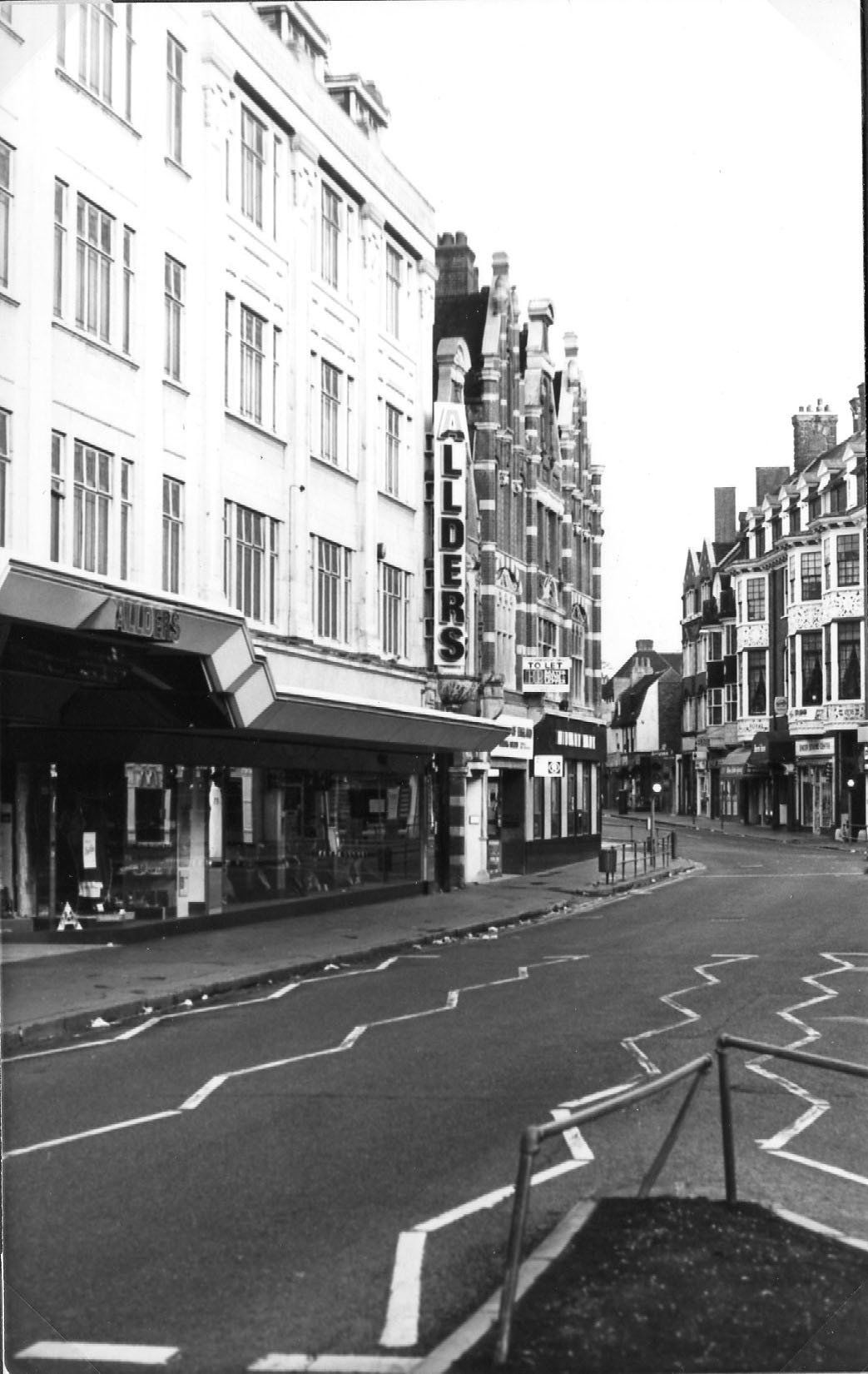
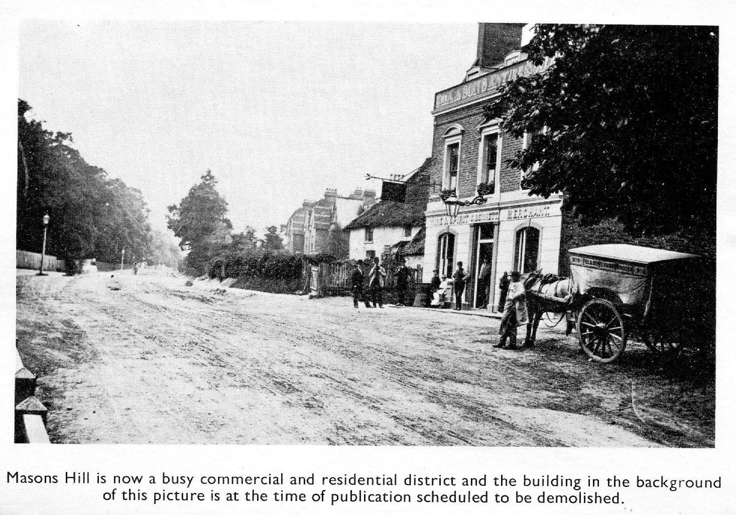
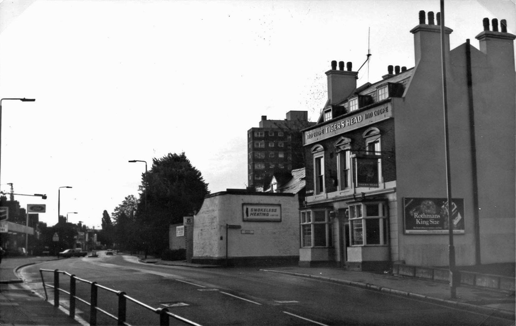
Masons Hill is now a busy commercial and residential district and the building in the background of this picture is at the time of publication scheduled to be demolished.
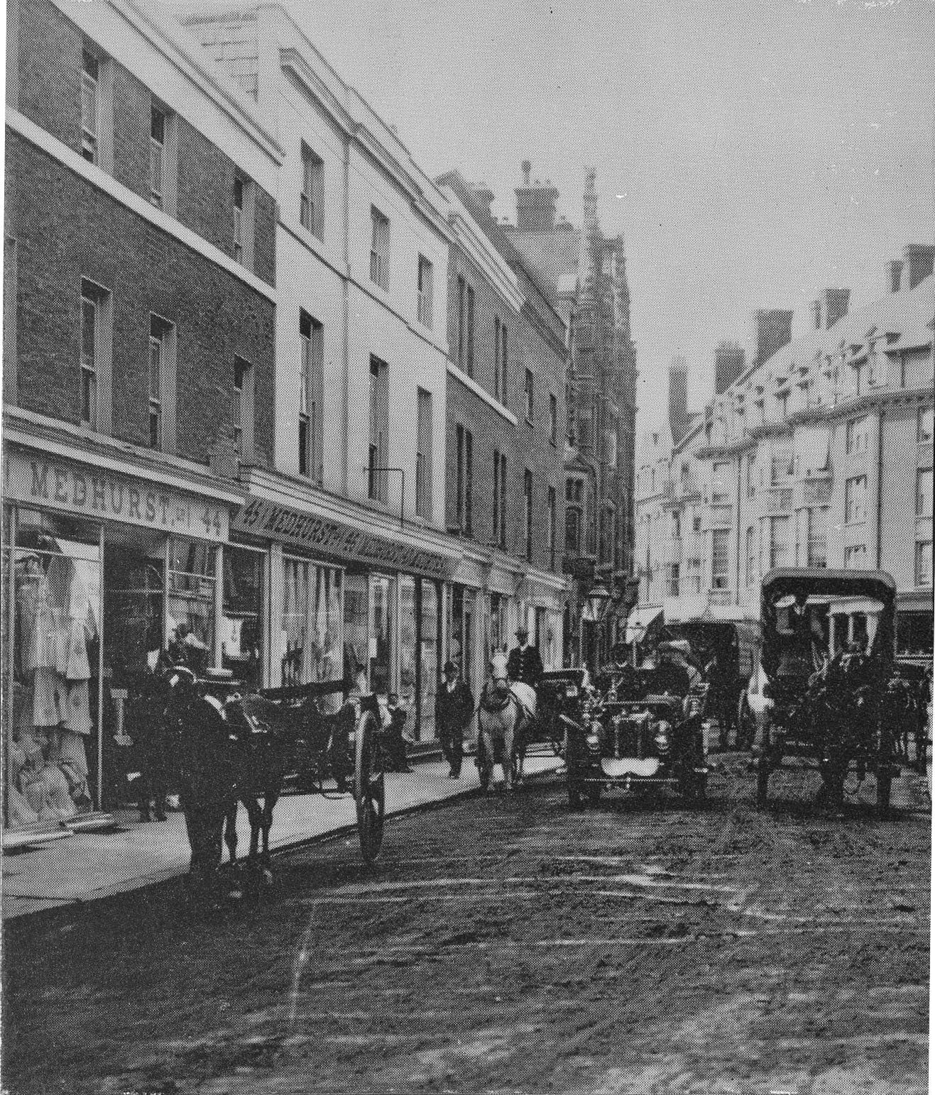
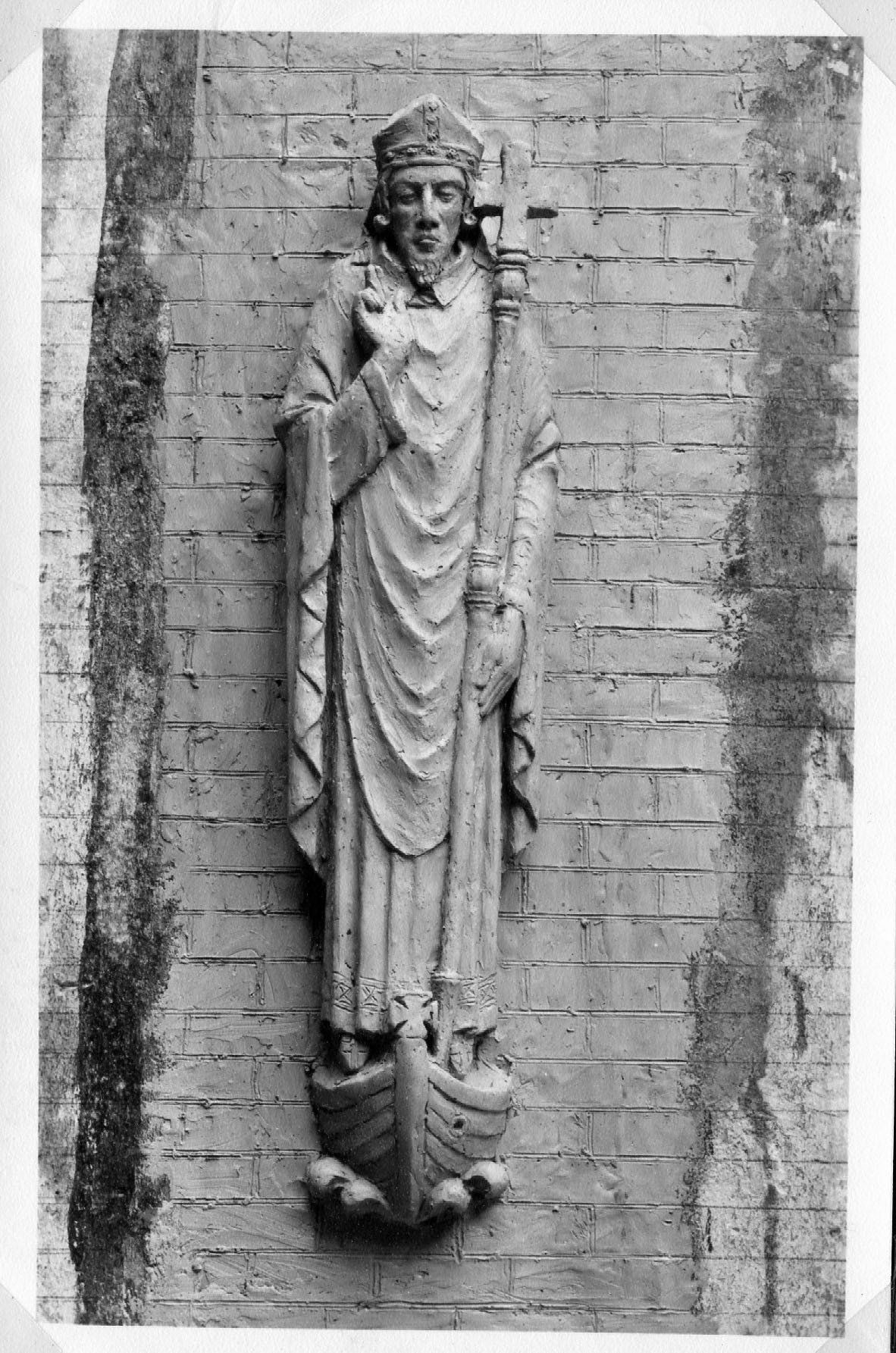
(Tigers Head at Masons Hill prior to building of Kentish Way.)