Bromley Borough Local History Society
Registered Charity
No. 273 963

Bromley Borough Local History Society
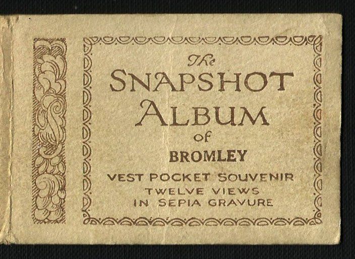
Snapshot Album of Bromley
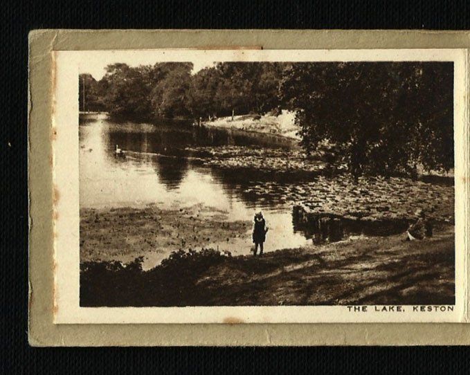
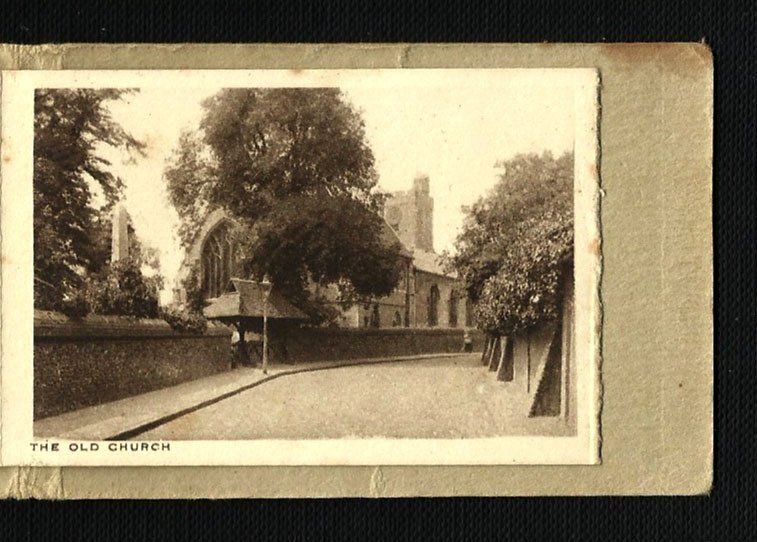
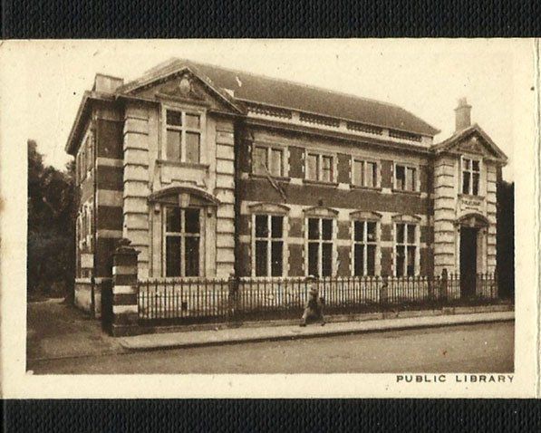
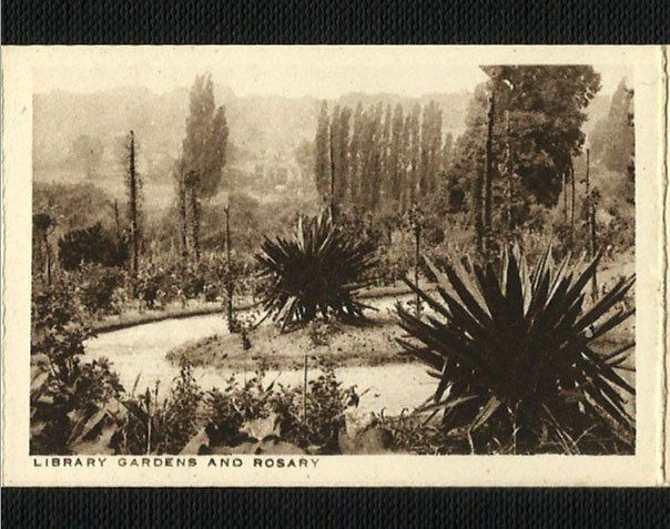
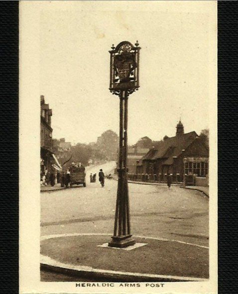
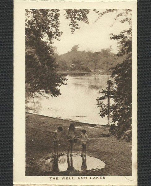
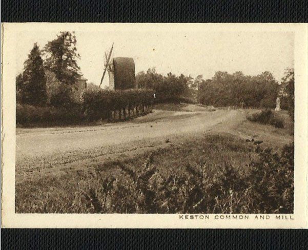
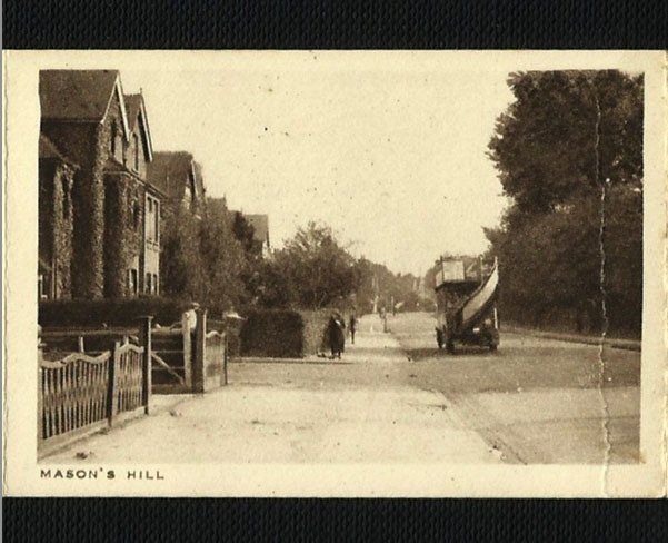
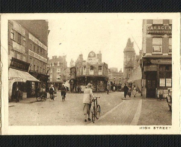
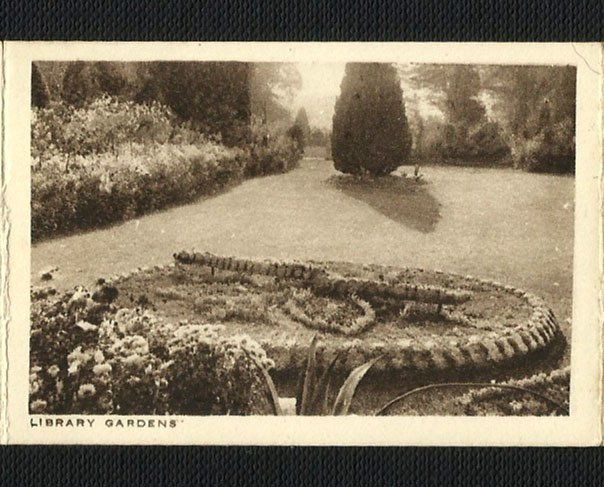
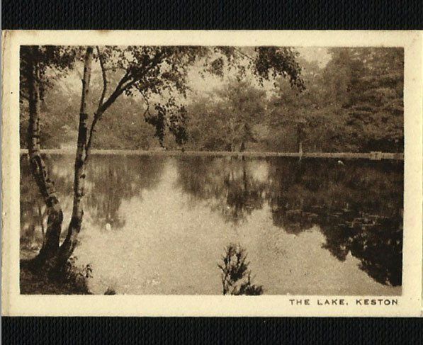
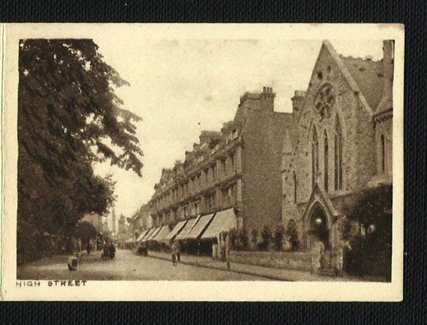
Whilst sorting out family papers, one of our members, Geoffrey Holland, found the photographs reproduced below. They are undated but appear to show Bromley town and nearby Keston in the 1920s. They had belonged to his paternal grandmother, Sarah Frances Holland (née Biggin), 1874-1951.
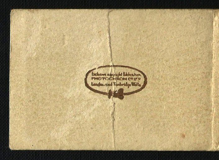
The booklet in which they were placed was produced by the Photochrom company of London and Tunbridge Wells. Strangely the "photochrom" process, invented in Switzerland in the 1880s, was a method of colourising black and white photographs but this is clearly marked as being sepia gravure (a form of photo-engraving).
The original booklet was only 3 inches x 2 inches, attached concertina style as a ‘vest pocket souvenir’. To see them a bit larger, click on any picture and use the left and right arrows to change picture.
Geoffrey went to considerable trouble to scan these photos and our thanks to him for his efforts. We would also like to thank Patrick Phillips, the director of parks management strategy in Bromley, for additional information.