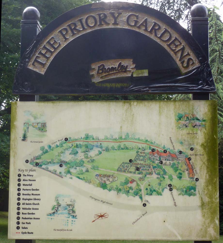
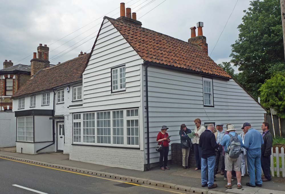
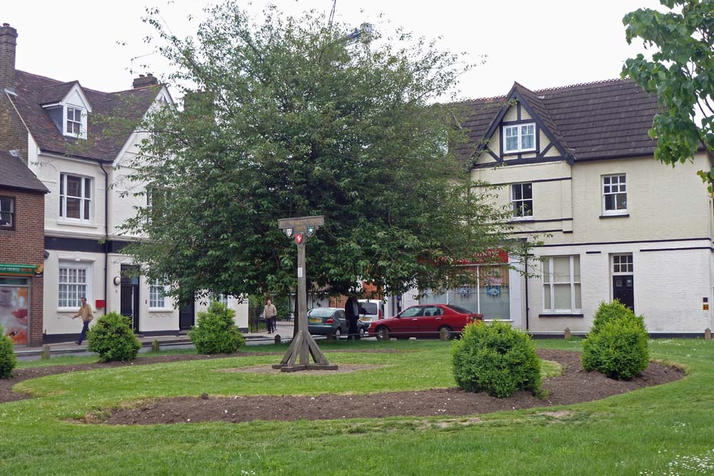
A small but determined group of Members assembled in the Priory Gardens, long the source of the River Cray, to start their three hour stroll down the river valley under the guidance of Tony Lathey who had kindly provided us with a guide to the many sites of historical interest.
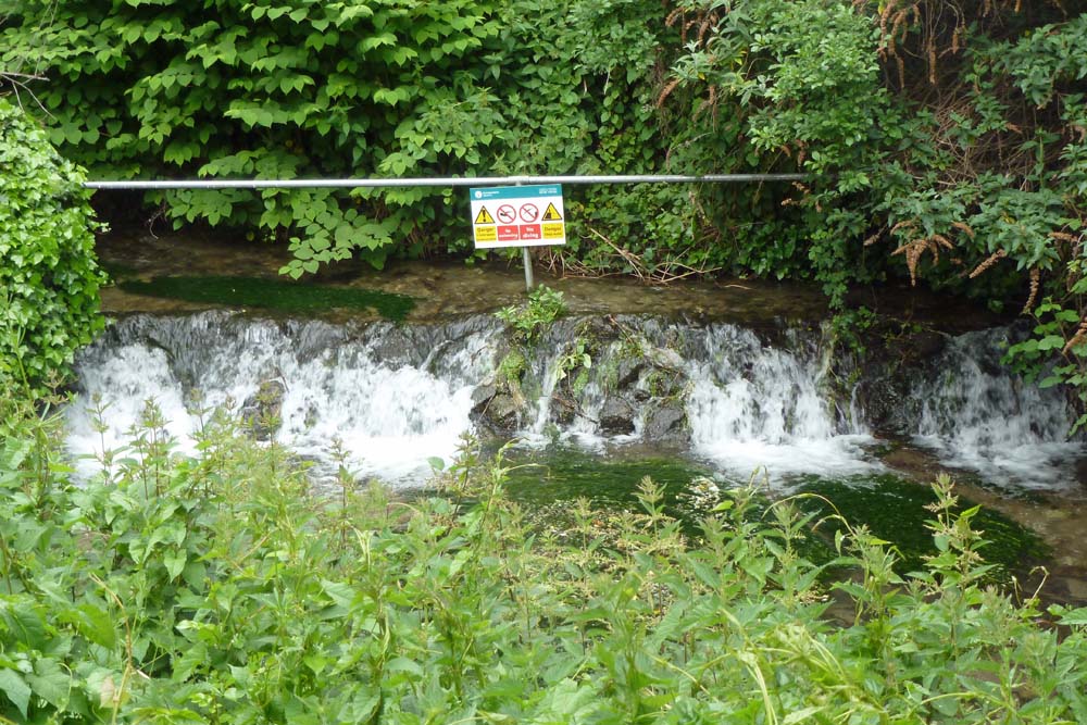
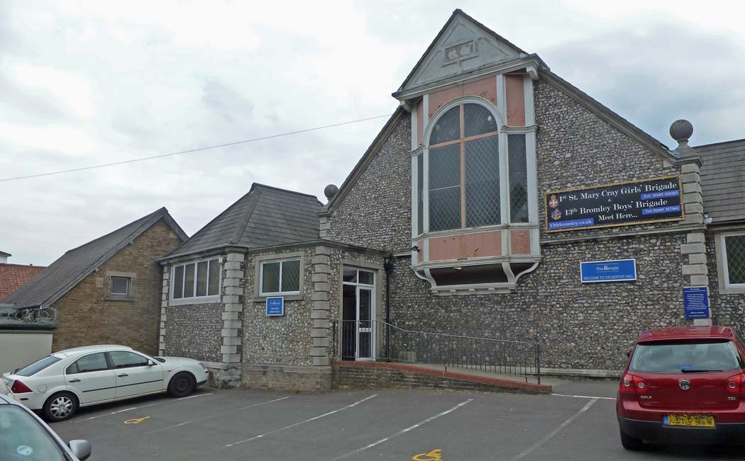
The River, so important to the establishment of St. Mary Cray both as a farming area and as a working village with water mills and enough inhabitants to justify 14 public houses, is only a shadow of its former self but provides the backdrop to much of the local history.
Click on an image below to see a larger version - you can then move forward or back using the arrows on either side.