Bromley Borough Local History Society
Registered Charity
No. 273 963
Bromley Borough Local History Society
Starting at Masons Hill, substantial change is obvious. Apart from a small block of shops still visible behind the hoarding in 2010, almost all the other buildings have been replaced or substantially rebuilt. Exmouth Road disappears to the right, now buried beneath Waitrose supermarket. Nice to see the Triumph Heralds going down the hill behind a "Z car" and past the entrance to Bromley Hospital.
The most obvious change, apart from to fashion, is to the forecourt in front of the station which itself is largely unaltered apart from the clutter of vehicles and a fruit stall in front of it. The green Southern "sausage" sign has been replaced by the BR sign, it too an historical feature now ! One subtle change is to the row of shops with Dutch gables in the middle background which have been removed by 2010.
After Harrison Gibson's store burnt down in 1968, the site was being cleared for replacement. The Ringers Road extension, reached by a footbridge, was still present and remained as part of the Army & Navy store which took over the site, to be replaced by TKMaxx which no longer required it. The Wolf and Hollander building on the left remains, although now a Laura Ashley outlet. Sadly, the central flower beds have been removed. Ringers Road itself has become part of a one-way system around the back of town and the empty space has been filled with flats.
Considerable change has occurred here with the replacement Central Library in the middle and the entrance to the Glades replacing Dolcis. Despite the route display, the 227 is heading away from Bromley Garage towards its normal route from Chislehurst to Penge. No longer able to proceed straight up the High Street in 2010, Elmfield Road is the only route through the town and restricted to buses and taxis. The change to the central reservation is all too obvious.
Orientation is quite easy here, despite the pedestrianisation, as the NatWest bank is still in the same building and Payne's the jewellers continues to occupy its large Market Square shop. The 47 bus is on its way to Farnborough, today it terminates at Catford bus garage. On the left can just be seen the entrance to Woolworths before it moved to its final location in the Broadway.
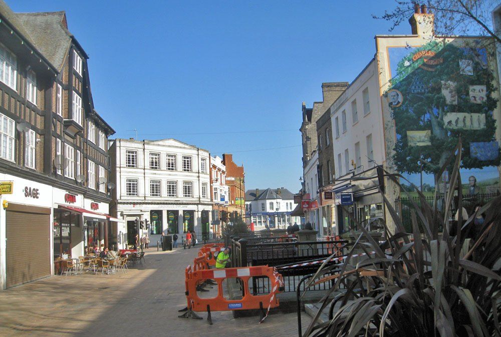
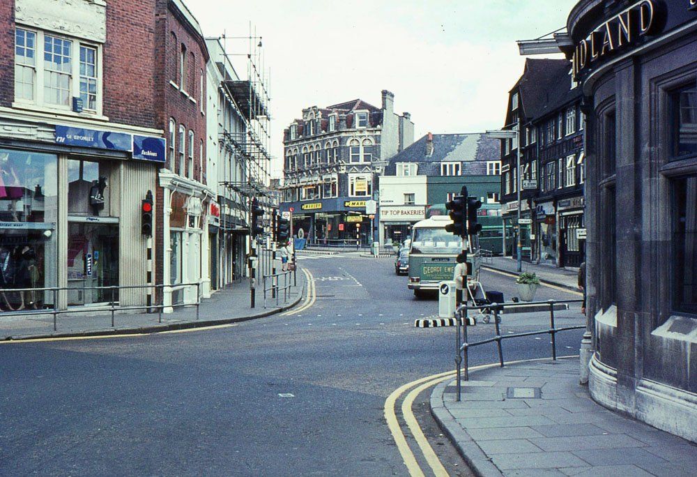
A 126 on its way to Beckenham Junction leads through an almost deserted Market Square, ignoring the 47 bus stop. Today, with no vehicles, it has become rather cluttered, making it difficult to match the camera viewpoint, but the rather plain wall next to Dunns furniture store (also rebuilt following a fire) has now been utilised for the Darwin mural. On the left the buildings remain the same and, at first glance, so does the white Lloyds Bank building in the distance, albeit now a betting shop. However, closer examination shows it has acquired an extra floor at some point between the two photographs.
The northern side of the Market Square shows little alteration although the top of the Glades can just be seen in 2010 peeking out below the HSBC sign. The main structural change is the closure of the road round which a double deck green bus is disappearing and the fact, perhaps not very obvious, that traffic from Church Road behind the camera must now turn left only. The bank on the right has had some cosmetic improvements.
Turning off the A21, as it was in 1968, on to the A222, we see another RF type bus, small enough to fit through the water tower at Chislehurst and under the railway bridge at Shortlands, stopping outside the Co-op. On the other side of the road, the council buildings remain unchanged but part of the block of shops next to South Street have been replaced. On the right, in 2010, can be seen part of the entrance to Boots in the Glades.
The Town Hall remains much as before, although not much used by the Council, but nearly everything else has changed in Tweedy Road. In 1968, it was still a quiet street leading down to the roundabout with Widmore Road, fronted by mock Tudor shops next to the unmade Love Lane. Today, it is the A21 and leads directly to Kentish Way which itself was built over Love Lane and the shops. Old houses on both sides of the 1968 picture, in later years mainly used by professional and charitable organisations, have also completely disappeared and new offices have been built to the left with a grassy area beside the fire station on the right.
Moving along Widmore Road, towards Widmore Green, changes have become rather less obvious. In 1968, clearly, parking was still not a big problem but otherwise, apart from the cars themselves, little has changed. Oddly, though, the manhole in the foreground has gone from round to rectangular!
The final picture in this section looks down the hill to Widmore Geeen, again little changed apart from a different type of bus stop, the sad loss of street trees and, although not obvious from this angle, the felling of the large oak tree at the heart of the Green in 2009. The tree on the left seems to have become rather mishapen over the years.
Thank you again to Martin Lancaster for the loan of his photographs.